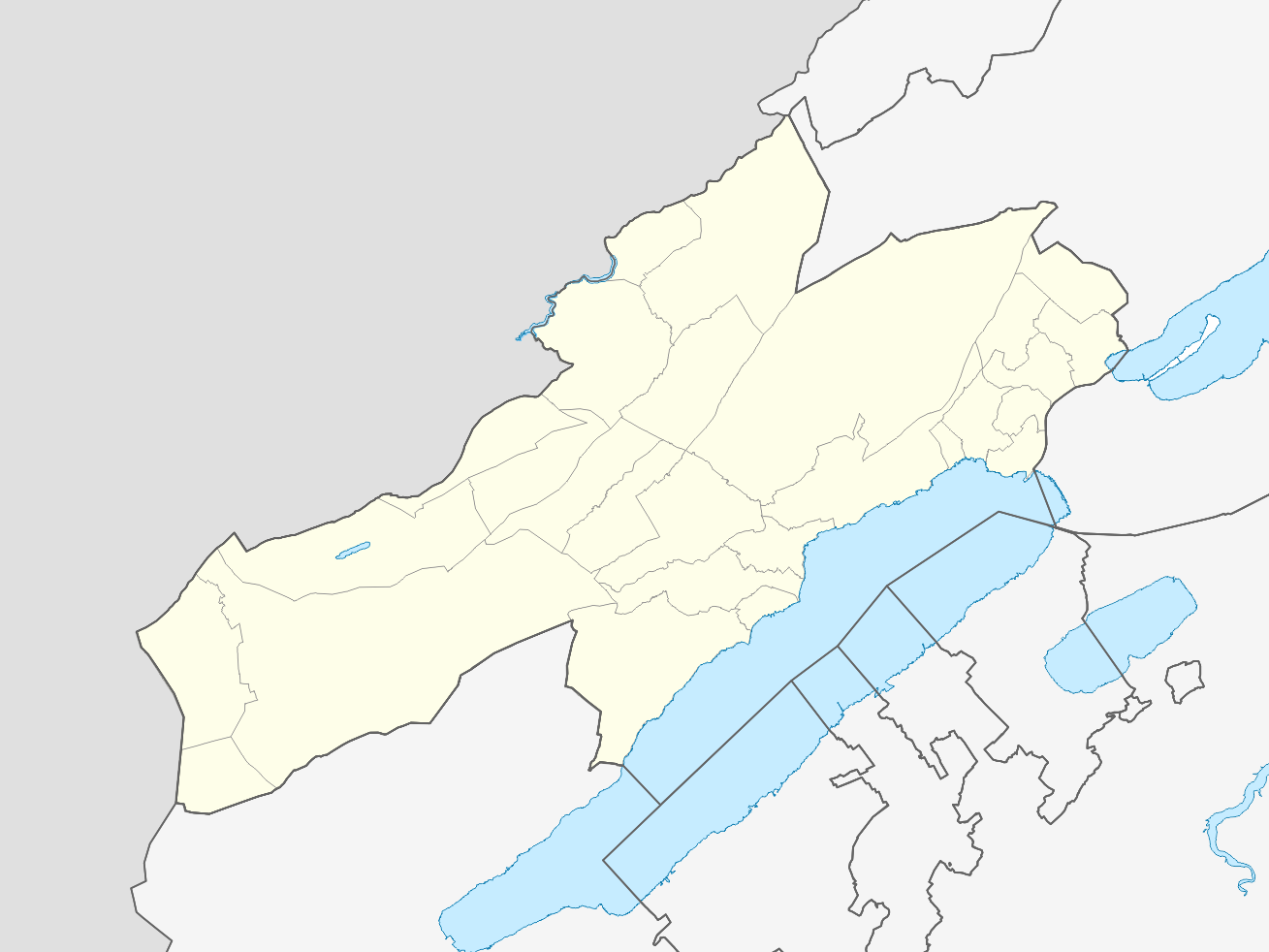
File:Locator Map Kanton Neuenburg.png
Jump to navigation
Jump to search
Size of this preview: 799 × 599 pixels. Other resolutions: 320 × 240 pixels | 640 × 480 pixels | 1,024 × 768 pixels | 1,309 × 982 pixels.
Original file (1,309 × 982 pixels, file size: 174 KB, MIME type: image/png)
| This is a file from the Wikimedia Commons. Information from its description page there is shown below. Commons is a freely licensed media file repository. You can help. |
Summary
| Description | Kanton Neuenburg |
| Date | |
| Source | Own work |
| Author | Tschubby |
Licensing
I, the copyright holder of this work, hereby publish it under the following licenses:

|
Permission is granted to copy, distribute and/or modify this document under the terms of the GNU Free Documentation License, Version 1.2 or any later version published by the Free Software Foundation; with no Invariant Sections, no Front-Cover Texts, and no Back-Cover Texts. A copy of the license is included in the section entitled GNU Free Documentation License. |
This file is licensed under the Creative Commons Attribution-Share Alike 3.0 Unported, 2.5 Generic, 2.0 Generic and 1.0 Generic license.
- You are free:
- to share – to copy, distribute and transmit the work
- to remix – to adapt the work
- Under the following conditions:
- attribution – You must give appropriate credit, provide a link to the license, and indicate if changes were made. You may do so in any reasonable manner, but not in any way that suggests the licensor endorses you or your use.
- share alike – If you remix, transform, or build upon the material, you must distribute your contributions under the same or compatible license as the original.
You may select the license of your choice.
File history
Click on a date/time to view the file as it appeared at that time.
| Date/Time | Thumbnail | Dimensions | User | Comment | |
|---|---|---|---|---|---|
| current | 13:06, 2 January 2023 | | 1,309 × 982 (174 KB) | Tschubby | {{Information |Description= |Source= |Date= |Author= |Permission= |other_versions= }} |
| 12:59, 4 January 2018 |  | 1,310 × 982 (168 KB) | Tschubby | {{Information |Description= |Source= |Date= |Author= |Permission= |other_versions= }} | |
| 09:37, 13 September 2014 |  | 1,313 × 984 (179 KB) | Tschubby |
File usage
No pages on the English Wikipedia use this file (pages on other projects are not listed).
Global file usage
The following other wikis use this file:
- Usage on de.wikipedia.org
- Usage on fr.wikipedia.org
- Le Locle
- La Chaux-de-Fonds
- Valangin
- Cornaux
- Hauterive (Neuchâtel)
- Enges
- Corcelles-Cormondrèche
- Marin-Epagnier
- Boudry (Neuchâtel)
- Chézard-Saint-Martin
- District de Neuchâtel
- District de Boudry
- District de La Chaux-de-Fonds
- District du Locle
- District du Val-de-Travers
- Cressier (Neuchâtel)
- Le Landeron
- Lignières (Neuchâtel)
- Saint-Blaise (Neuchâtel)
- Thielle-Wavre
- Auvernier
- Bevaix
- Bôle
- Brot-Dessous
- Colombier (Neuchâtel)
- Cortaillod
- Fresens
- Gorgier
- Montalchez
- Peseux (Neuchâtel)
- Rochefort (Neuchâtel)
- Saint-Aubin-Sauges
- Vaumarcus
- La Sagne
- Les Planchettes
- Boudevilliers
- Cernier
- Coffrane
- Dombresson
- Engollon
- Fenin-Vilars-Saules
- Fontainemelon
- Fontaines (Neuchâtel)
- Les Geneveys-sur-Coffrane
- Le Pâquier (Neuchâtel)
- Les Hauts-Geneveys
- Montmollin
- Savagnier
- La Brévine
View more global usage of this file.